Marmot Madness
Posted on 2019-08-13
Alichur means Ali's curse, and it's easy to see how the village got its name. After passing by only lone houses in last three days of cycling, the sight of a whole village appearing in the middle of a barren landscape came as quite a surprise. Why would anyone live here, let alone a whole village? As we entered, passing by numerous signs advertising for homestays (with bath!), it seemed like the main economic activity in the village was tourism. However, as we stayed an extra day and took a tour in the area, the village and surrounding valleys took on more life than what we initially thought.
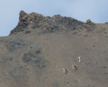
We chose to stay in a homestay affiliated with the local NGO "Burgut". The homestay was comfortable, with a private room and sitting/dining area that we had to ourselves, and a banya, a Russian-style sauna with hot water bucket shower. More importantly, they could connect us with Burgut, the local NGO that manages the Alichur Conservancy, a protected area encompassing several valleys to the north of the Alichur valley. Apart from monitoring wildlife populations and preventing poaching, they also offer tours of the area, and we signed up for a wildlife spotting day tour to see the Siberian ibex and elusive Marco Polo sheep.
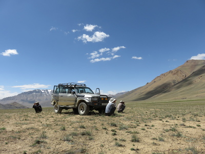
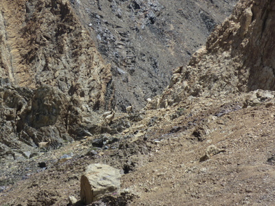
Lucky for us, we were taken on the tour by the Burgut founder and leader himself, Mahan, together with one of his rangers (their other tours are usually only accompanied by their rangers, who have also been trained as tour guides). In a 4x4, we were whisked off-road into the far corners of several valleys, where our guides would jump out of the car and start scanning the nearby slopes with binoculars for animals. Since the establishment of Burgut and the conservancy area in 2012, the populations of Siberian ibex and Marco Polo sheep in the area have increased by over five-fold, with estimates of about 1000 ibex and 600 Marco Polo sheep today. With increased prey availability, the number of snow leopards has increased as well, although we were not lucky enough to spot any that day. As the ibex and Marco Polo sheep only spend the mornings and evenings down in the valleys, grazing when temperatures are cooler, and spend the rest of the day high up the steep mountain slopes, they were extremely far and difficult to spot with the naked eye when we were there, and we would certainly have missed them all if not for the trained and skilled eyes of our guides.
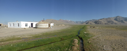
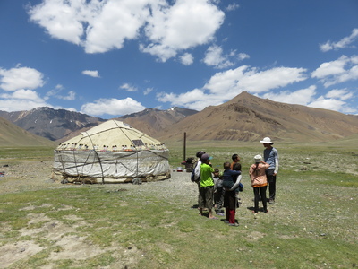
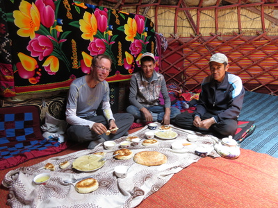
For lunch, we stopped at a yurt camp in one of the valleys inside the conservancy area. From Alichur eastwards, the people are predominantly ethnic Kyrgyz, and where there are Kyrgyz people there are yurts. The Kyrgyz people are traditionally nomadic herders, and the wide, green Alichur valley provides good summer pasture for their yak to graze. The family at this yurt camp lives in Murghab during the winter, but moves up here in summer to herd yaks. For lunch, we were served traditional fare - yak cream and yoghurt, with freshly baked bread and pancakes. Simple but good!
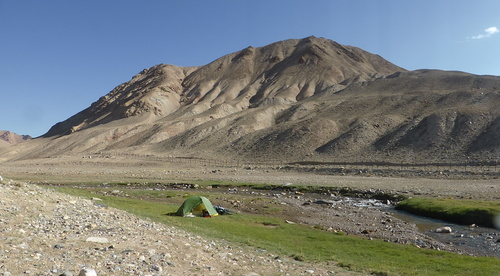
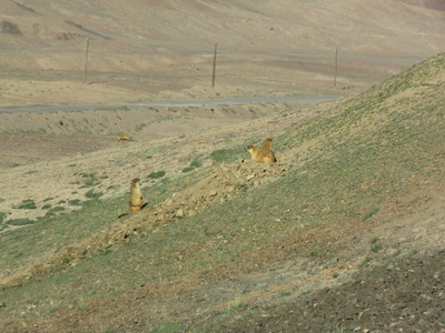
The next day, we finally left Alichur towards Murghab, and this is where the marmot madness began. We had already seen a few marmots on the way to Alichur, and thought ourselves lucky to have caught one on camera. Little did we know that the entire high Pamirs was overrun with these irresistibly cute orange balls of fur. We stopped for lunch along the road right next to a few marmot and ground squirrel burrow entrances, and watched them as we ate. We then continued, with strong tailwind, reaching the well-paved Neizatash pass much earlier than expected (why don't they just pave all the passes?!), from where it was almost all downhill to Murghab. Rolling downhill with the tailwind, we contemplated the idea of cycling all the way to Murghab that day, but when we came across a beautiful, slightly hidden place, we decided to set up camp. Then we heard the marmots - we were camping in marmot land!
The landscape after the Naizatash Pass (4137m) on the way to Murghab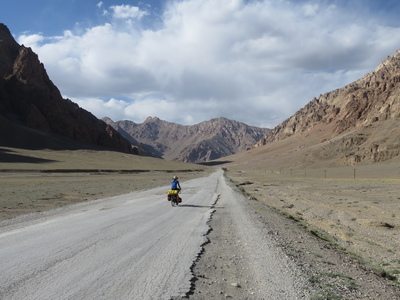
It was lucky that we decided to camp there that day, as we heard from several cyclists we met coming up from Murghab the next day that there were extremely strong winds down in the valley that night, coming from the other direction, blowing up such a dust storm that it remained hazy in Murghab for the next two days when we were there. From where we camped, we could see clouds coming across the mountains from Murghab, but our campsite itself was relatively calm - possibly right in the middle of the two opposing wind fronts.
Sunset from where we camped in between the Naizatash Pass (4137m) and Murghab
In Murghab, we found another nice homestay that was almost full when we arrived - with four other cyclists, three motorcyclists, and three backpackers (we took the last available room). We explored the bazaar made up of shipping containers, where we could finally get some essentials that we could not find in any of the small village shops (chocolate spread!), and tried yak ice cream, which tasted surprisingly normal. A thunderstorm on our rest day helped to clear up the haze, and it was clear skies again when we left.
Sary Kol Bazaar, the main bazaar in Murghab, made up of shipping containers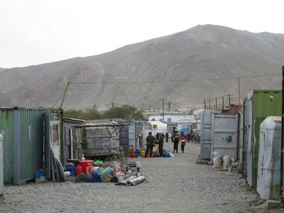
We camped two nights on the way up to the Ak-Baital pass, the highest point of the Pamir Highway at an elevation of 4655m. Most cyclists camp only once, but with Hannah's acclimatisation problems we decided to take it slow. Both nights, we camped next to a small stream, which was nice, and both nights, we also camped next to marmots. We'd hear them scream every time we left our tent, and (if they had not spotted us and gone into hiding) we'd watch them from a distance chilling out outside their burrow entrances, too cute to ignore.
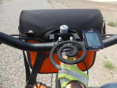
The road up to the Ak-Baital pass from the south was mostly good, even better than expected, except for the mosquitoes. A short while after leaving Murghab, we started being viciously attacked by mosquitoes, that seemed to originate from the Rangkul valley/lake. It became so intolerable that we even mounted mosquito coils on our bicycles, and were still killing them non-stop. Thankfully, the mosquitoes were day-active, and left us alone once the sun set, and they also didn't go above ~4000m, so we were spared for most of the second day onwards. The road only became unpaved for the last 3km or so before the pass, and even then the surface was relatively good, and we could both cycle almost all of the way to the top, albeit slowly and with frequent breaks to catch our breath in the thin air.
On the way up to the Ak-Baital Pass (4655m)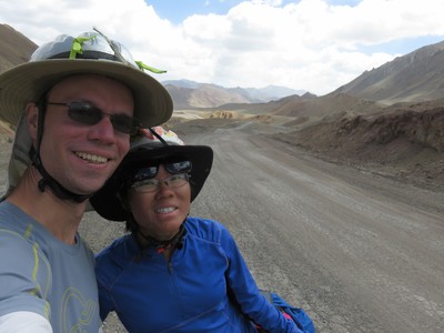
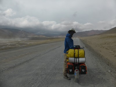
The way down from the Ak-Baital pass, on the other hand, was quite the opposite. The road remained unpaved for about 20km, and after we had rolled down the steepest part from the top, the rest of the gentle downhill was so corrugated that we were moving much slower than expected. To make things worse, in the afternoon, winds from the north grew so strong that, by the time we reached the asphalt again, we were moving even more slowly. Our plan to roll from the pass all the way down to Karakul lake that day was not working out. We ended up camping in a slightly sheltered, but still very windy, spot only about 25km from Karakul, where we struggled to pitch our tent and cook dinner in the windstorm before calling it a night.
Landscape on the way down from the Ak-Baital Pass (4655m)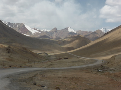
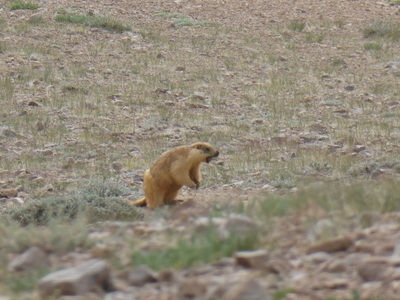
Marmot basking in the sun, on the way down from the Ak-Baital Pass (4655m)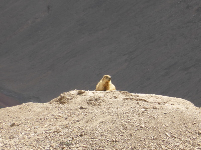
The next day, we finally cycled to Karakul in the calm of the morning, making good speed and reaching the village in time for lunch. We stayed at another cozy homestay, where we met three other cyclists that we would meet again and again all the way until Osh, in Kyrgyzstan. Karakul is a desolate place, the lake water being too salty for any kind of commercial fishing, or to irrigate the surrounding land, and it is no wonder that many of the houses have been abandoned. The people who live there are all ethnic Kyrgyz, and indeed seem to be more connected to Kyrgyzstan than Tajikistan - we noticed more local traffic to/from Kyrgyzstan than to/from Murghab, and our homestay had also set their clock to Kyrgyz instead of Tajik time.
The cosy dining area of our homestay in Karakul village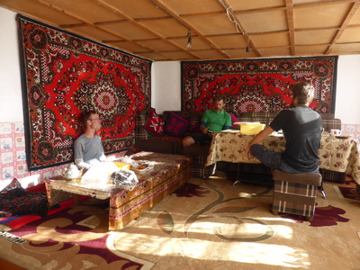
We left Karakul early the next morning and made good time again, reaching the Uy-Bulak pass before noon. We originally planned to camp in between the Uy-Bulak pass and the Kyzyl-Art pass, that marks the border with Kyrgyzstan, but given our morning progress, we thought we might even be able to make it across the Kyzyl-Art pass that day. However, the changing weather soon foiled our plans. The northerly wind picked up again in the afternoon, this time to even more frightening speeds, blowing dust devils and sandstorms through the Markansu valley in between the two passes, and forming storm clouds above the mountains around the Kyzyl-Art pass. We had read that the road around the Kyzyl-Art pass turns into mud when it rains, so we had no intention of crossing it in bad weather. As the winds reached (we estimate) 60-70km/h, strong enough to blow off Heiko's DIY plastic mudguard extension, we could no longer cycle anyway and could just barely push our bicycles, inching our way to our original planned campsite. There, slightly sheltered from the wind, we pitched our tent and hid inside just before it started raining.
The next morning, the weather was calm again as we made our way up to the Kyzyl-Art pass. We found the other three cyclists in another slightly sheltered spot just about 1km ahead of us, and crossed the border with them.
Marco Polo sheep horns, at the Tajik border post just before the Kyzyl-Art Pass (4280m)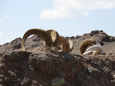
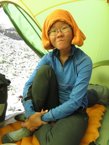
Marmot madness - Hannah's gradual conversion into a marmot, on our way to Karakul